Blog Archives
Opposite Sides, Still
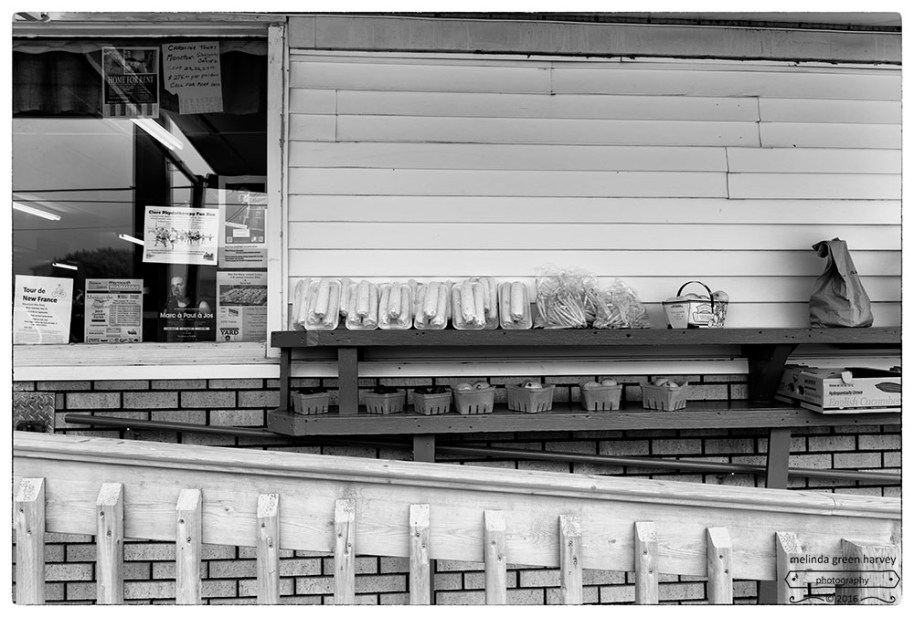
The French and British haven’t always gotten along so well in Nova Scotia, so spotting the English cucumber sign on the opposite side from the Tour de New France poster sort of made my day.
Church Point, Nova Scotia
photographed 7.29.2015
The Morning Came to Tell of Silences
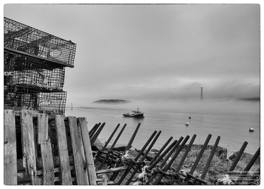
The fog seemed determined to stay around that day, and we couldn’t see across the water at the Petit Passage, which divided the Digby Necks.
It was very quiet.
Except for the foghorn
Petit Passage
near Tiverton, Nova Scotia
photographed 7.28.2015
God’s Robes
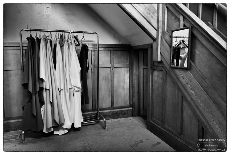
I can get distracted thinking about what goes on behind the scenes, for Mass, for dinner, for a car repair. It doesn’t really matter what it is, I just always wonder about the how of it all.
So I was pretty happy to discover God’s robes in a small room off the sanctuary of this Nova Scotian church.
Église Saint-Bernard
Saint Bernard, Nova Scotia
photographed 7.28.2015
Upon Row
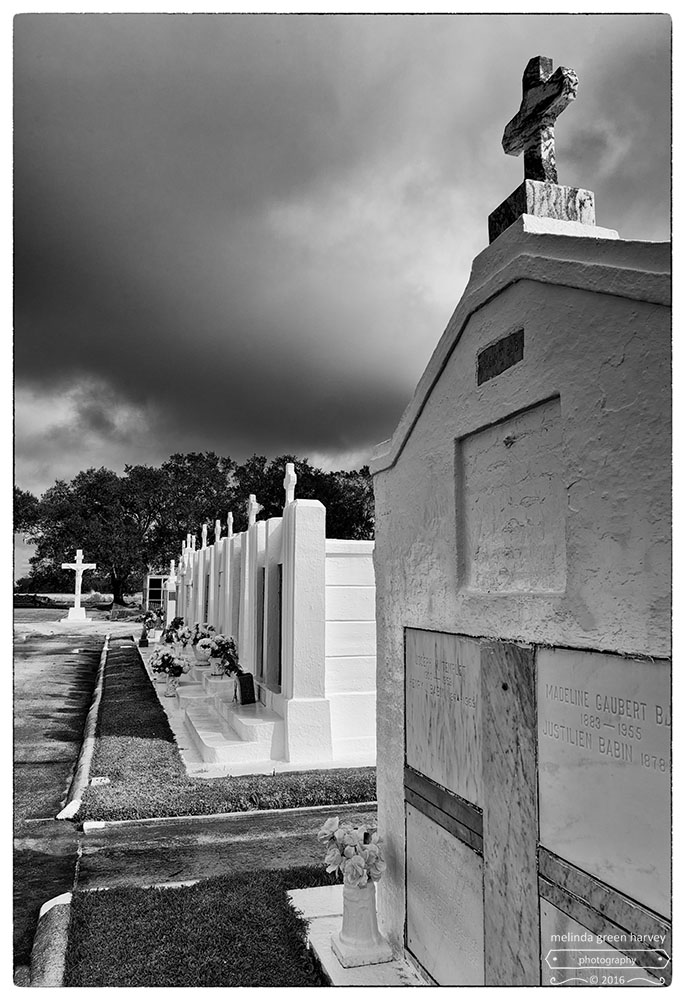
Above-ground tombs like this are always a sign of a high water table. Or a low elevation. The camera’s GPS says the elevation of this place is 39.4 feet, which is actually relatively high for this part of Louisiana; there were many places that had elevations in the negative numbers.
It was a lovely cemetery, nicely kept with new white paint on rows and rows of markers.
St. Charles Borromeo Cemetery
St. Charles, Louisiana
photographed 1.9.2016
Local Industry
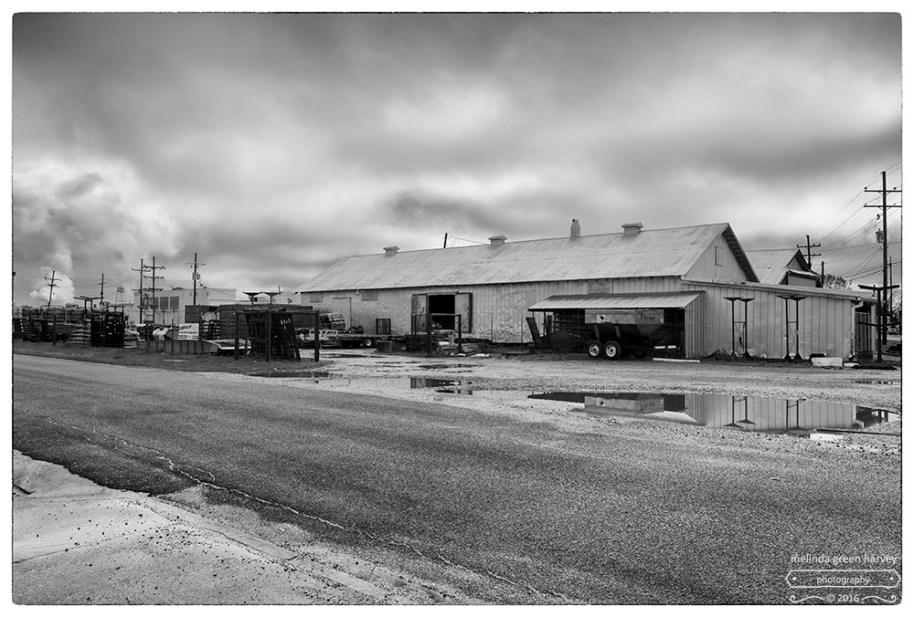
Sugarcane – that’s what was growing in the fields south of New Orleans.
But we didn’t figure that out until we got to Raceland and turned off the main road to see if we could figure out the source of that white smoke (or steam?). Turns out it was coming from the sugarcane mill.
Raceland, Louisiana
photographed 1.9.2016
