Blog Archives
How to get to the end of the world
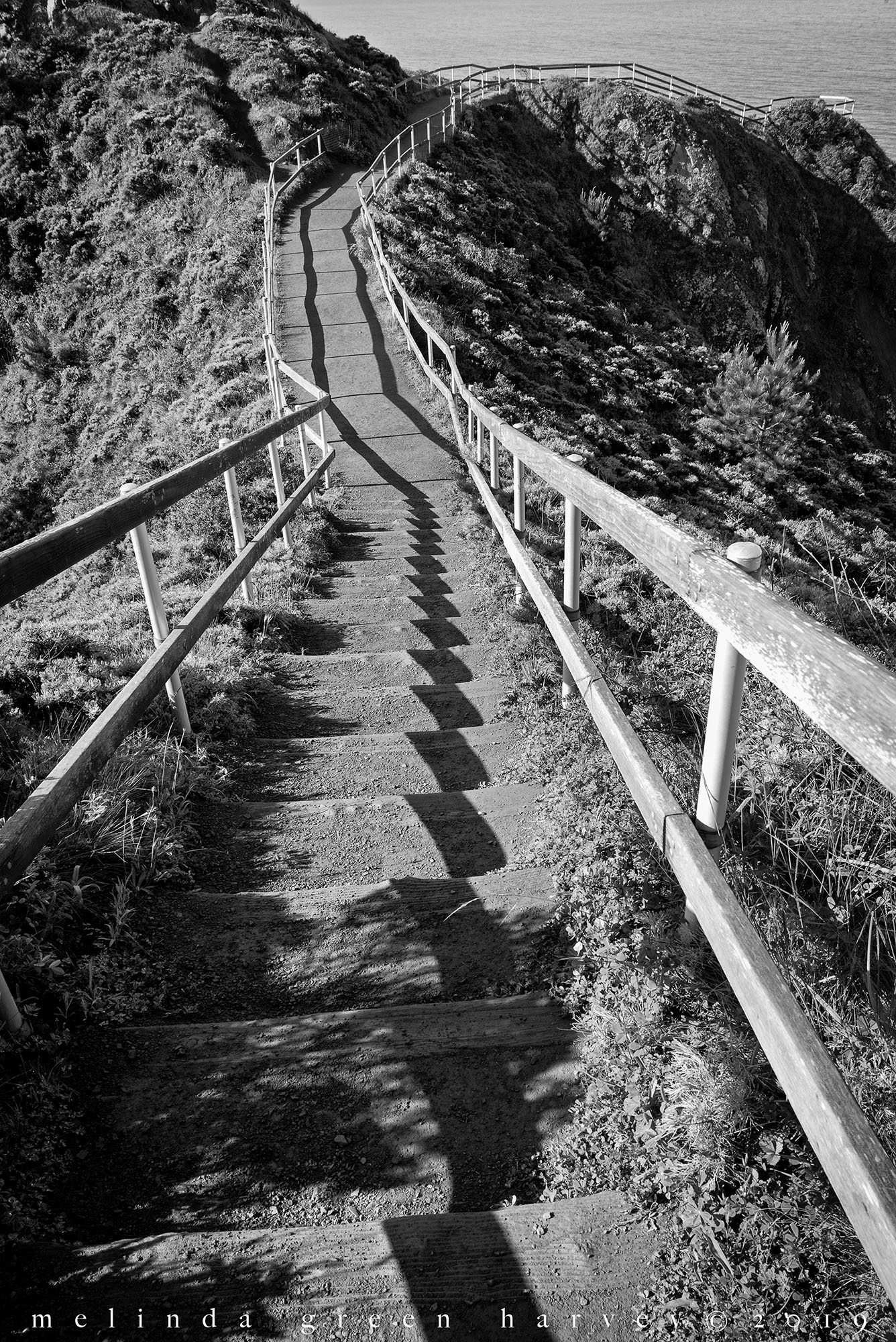
Are you wondering how, should the need arise, you could get to the very end of the world?
I think it’s right here – just take that pathway, and there you are.
Above Muir Beach, California
photographed 4.16.2019
Life-saving Station Cemetery
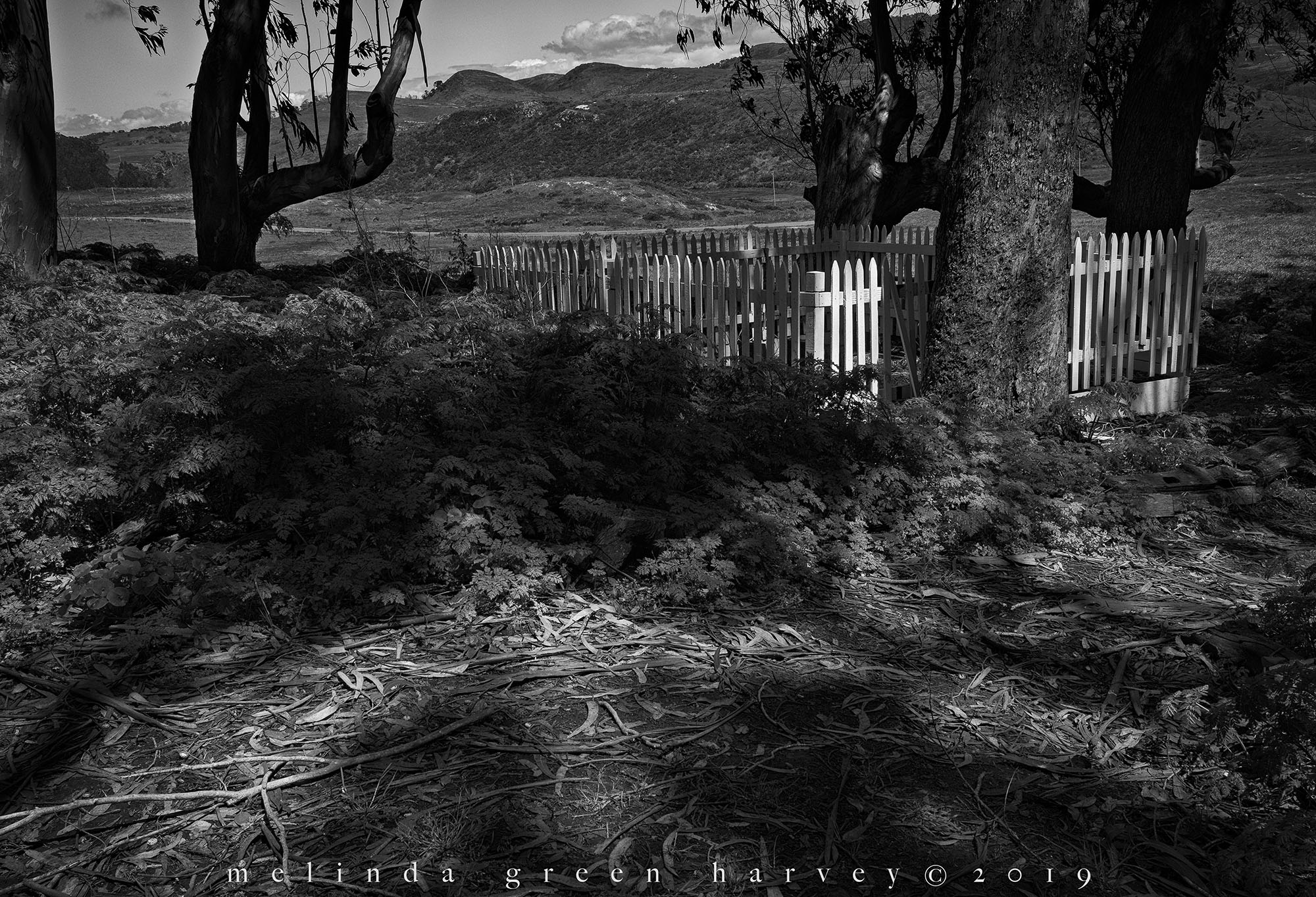
On the top of the last ridge before the ocean, in a small grove of eucalyptus trees, you can find the Historic Life-saving Station Cemetery.
It seemed odd to see “life-saving” and “cemetery” right there together that way, but then it made sense: the “life-saving service” was a very early version of the Coast Guard, and its members were in charge of water rescues. The four men buried here were members of the service, and all died during training accidents. You can read about it here – take the time, if you’ve got it, as it’s interesting.
It was nice up here on the ridge. The trees smelled good, a field across the way was covered in yellow flowers, and the light played nicely across the white pickets around the graves.
Historic Life-saving Station Cemetery
Point Reyes National Seashore, California
photographed 4.16.2019
Clouds overhead were ghostly gray

It’s unusual to see cloudy skies out here. These kinds of clouds, anyway – low gray ones that hang around all day. In the summer, it’s not uncommon to have thunderclouds build up and quickly dissipate.
But how about the way the lighter shapes in the clouds echo the shape of the shrubbery by the stairs?
Shafter, Texas
photographed 12.22.2018
This is where it gets trippy
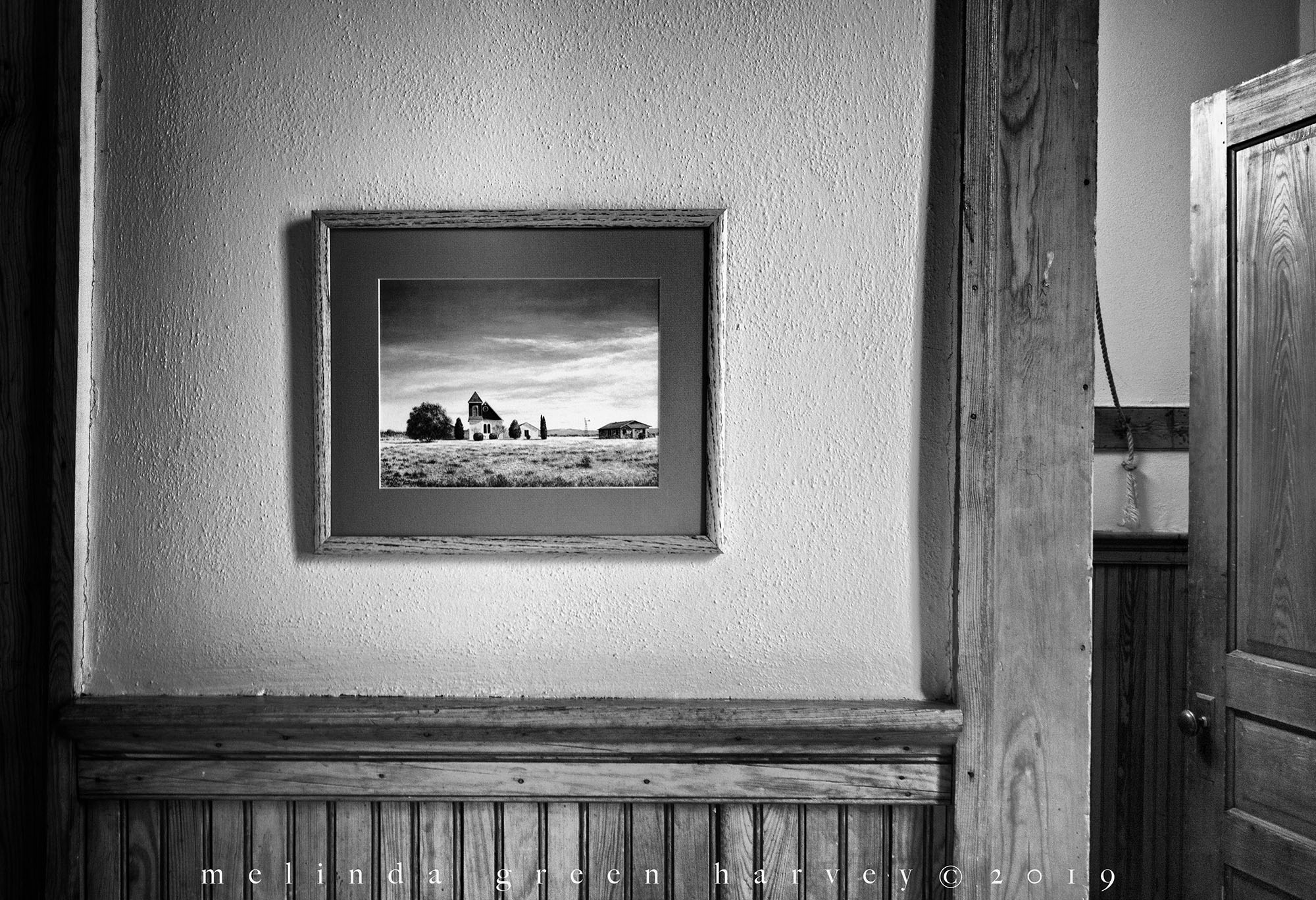
I was inside the building, looking at a painting of the outside of it. Art is crazy sometimes.
Valentine, Texas
photographed 12.22.2018
Behind the Legion Post
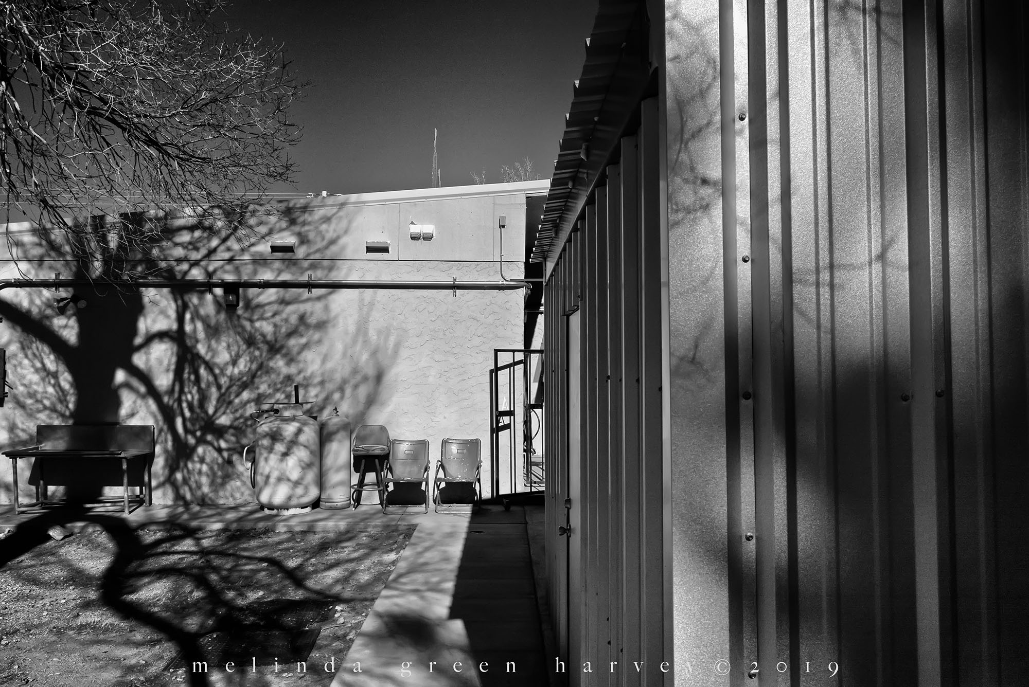
No surprise here: I walked around the back of the American Legion to see whatever I could see. And I found a little array of chairs and a nice tree shadow. It was worth the 142* extra steps.
Alpine, Texas
photographed 12.23.2018
*Estimated amount. I actually have no idea.


 One Day | One Image